Navigation: Add New Resource Wizard > Form Descriptions >
DPR523C - Archaeological Site Record


|
Navigation: Add New Resource Wizard > Form Descriptions > DPR523C - Archaeological Site Record |
|
A complete description of all the DPR forms is available online at this address.
The OHP Manual describes the 523C Form as:
The Archaeological Site Record can be used to record detailed descriptive information about most
historical resources classified by the National Register as sites. The Archaeological Site Record was
specifically developed to accommodate the documentation of both prehistoric and historic sites. As such, it
includes a number of data fields essential for recording certain types of sites, but irrelevant for the
documentation of others. The Archaeological Site Record must be accompanied by a detailed Sketch Map.
Several specialized recording forms have been developed as optional attachments to the Archaeological
Site Record. They include: the Linear Feature Record; Milling Station Record; Rock Art Record; and Artifact
Record. Instructions for preparing those optional attachments are provided later in this manual. Detailed
instructions for preparing the Archaeological Site Record are given below.
The main sections of the data entry for 523C are as follows:
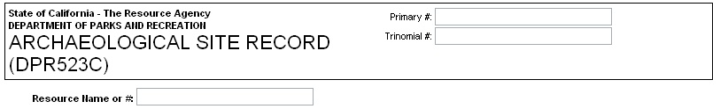
Header Information - This includes the Primary # and the Trinomial #. These are pre-populated (if available) from the root resource record.
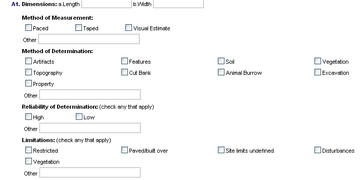
A1 Dimensions - This category of data is about the size and topography of the Site along with the method of measurement. Checkboxes and text boxes allow a user to enter limitations and reliability as well, so the a viewer will know be able to gauge the accuracy of the information.
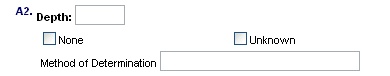
A2 Depth - This field is for indicating the depth of the site (below the ground). Describe how you came to that conclusion. If there are no below ground artifacts or remains to the site check "none".
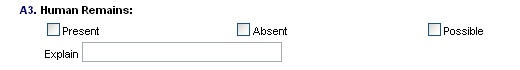
A3 Human Remains - Indicate whether human remains are absent, possible or present and give an explanation for your rationale. Remember, if human remains are present the location must be carefully annotated on the sketch map.
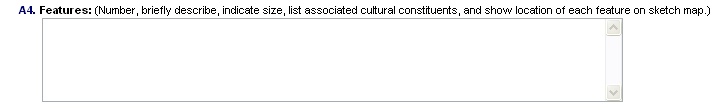
A4 Features - Number and list each feature in the description box provided. Each feature listed must also be indicated on the sketch map. Information about the numbers and types of bedrock milling features and rock art may be briefly recorded here, but remember that greater detail is possible regarding such features using the Milling Station or Rock Art Form.
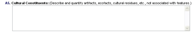
A5 Cultural Constituents - List cultural items that are not associated with the features in A4. For example, artifacts or evidence of activity from a different period of than the one being cataloged.
A6 Specimens Collected - If you select yes you must attach an artifact record, and you must indicate on the sketch map where these were collected.
![]()
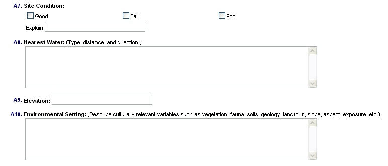
A7 - A10 - The next 3 fields deal with site conditions and environmental factors.
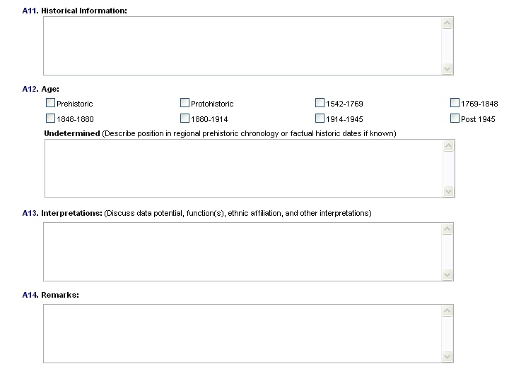
A11 - A14 History and Significance - This section deals with the age, history, and significance of the site.
A15 References - List people interviewed and documents used to substantiate information.
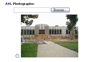
A16 Photograph - You can upload a single photograph when you add a new 523C. You can add additional photographs to the resource as needed and print them together with the forms. You can also tie this form to a previously uploaded photo by selecting the radio button next to the thumbnail image. All the photos uploaded will be displayed in the "add" form as thumbnails.
A17 Prepared by - This field allows you to select from evaluators maintained by CHRID admin. You must also select a Date.

When you are finished click "next"