Navigation: Add New Resource Wizard > Form Descriptions >
DPR523E - Linear Feature Record


|
Navigation: Add New Resource Wizard > Form Descriptions > DPR523E - Linear Feature Record |
|
A complete description of all the DPR forms is available online at this address.
The OHP Manual describes the 523E Form as:
The Linear Feature Record can be used to supplement both minimal or detailed recordation of prehistoric
and historic linear structures and sites. Linear features are taken to include most long, narrow constructed
works classified by the NRHP as structures, as well as trails and the ruins of linear structures (which are
classified as sites). The Linear Feature Record may be used for documenting linear features in their entirety,
segments of such resources, or observations made at a particular point along a linear feature.
When preparing the initial record for a linear feature or segment of one, the nature of the entire resource
should be described on the Primary Record in Field P3a. Refer to the instructions for Field P3a for the kinds
information that should be included in the overall description of a linear feature. Detailed instructions for
preparing the Linear Feature Record are provided below. The Linear Feature Record can be used to gather
purely descriptive information about a linear resource, or it can serve as an adjunct to a formal evaluation
documented on a BSO Record, District Record, or in a suitably detailed evaluation report.
The main sections of the data entry for 523E are as follows:
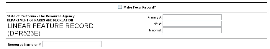
Header Information - This includes the Primary #, HRI # and the Trinomial #. These are pre-populated (if available) from the root resource record. A box allows you to indicate the resource name or number (this is pre-populated as well).
L1 Historic Name and Common Name - These are pre-populated from the resource record if possible.
![]()
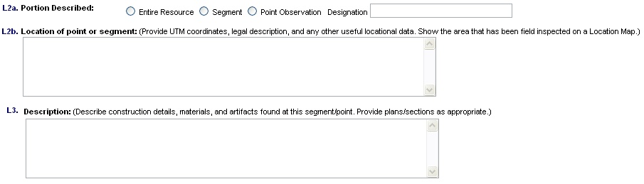
L2 Description and Location - When providing a point along a linear feature you must indicate it on the Location Map.
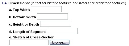
L4 Dimensions - indicate the width, height, depth and length of the feature. Include a sketch of the cross section if possible.
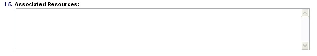
L5 Associated Resource - List previously recorded resources by Primary Number, Trinomial, and/or HRI number. If these are unknown you may use the historic name of the resource. You may mention an associated resource that has not been recorded, but make sure and indicate "unknown" for status.
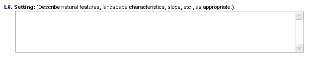
L6 Setting - General description of the physical environment for this feature.
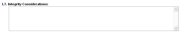
L7 Integrity Considerations - Describe existing alterations that affect the feature with an eye toward wether they affect the historic feeling, workmanship, design etc.
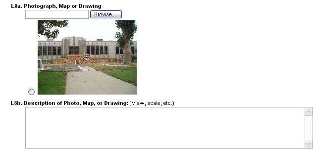
L8a-b Photograph - You can add additional photographs to the resource as needed and print them together with the forms. You can also tie this form to a previously uploaded photo by selecting the radio button next to the thumbnail image. All the photos uploaded will be displayed in the "add" form as thumbnails.
L9 Remarks - Space for additional information.
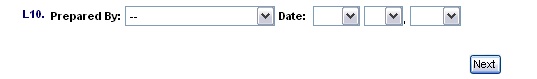
L10 Prepared by - This field allows you to select from evaluators maintained by CHRID admin. You must also select a Date.
When you are finished entering information click "next".