Navigation: Add New Resource Wizard > Form Descriptions >
DPR523J - Location Map


|
Navigation: Add New Resource Wizard > Form Descriptions > DPR523J - Location Map |
|
A complete description of all the DPR forms is available online at this address.
The OHP Manual describes the 523J Form as:
The purpose of the Location Map is to accurately depict the location of the resource on a U.S. Geological
Survey topographic quadrangle or other government map. The Location Map differs from a Sketch Map in
that it generally does not depict the internal arrangement of a resource. The only exceptions to this rule are
the Location Maps created for linear resources and districts, which may depict component features and/or
elements. The Location Map is optional for buildings located on small parcels of land in urban areas when
an address is provided.
Provide the name, scale, and publication date of the map(s) used to depict the location of the historical
resource, and include a copy of the appropriate portion(s) of that map or maps on the Location Map record.
If the map has been photorevised, place the date of the revision in parentheses following the original date the
map was published. The OHP recommends using maps published by the government, particularly U.S.
Geological Survey topographic quadrangles (for rural areas) and Assessor's regional index maps (for urban
areas). Because privately published maps are subject to copyright restrictions, you should check with the
OHP before submitting such materials.
All Location Maps should include a bar scale and north arrow. Accurately plot the shape and location of
the resource on an appropriate map. Very tiny resources may be depicted with a dot, while the exact
configuration of larger resources should be drawn to scale using a heavy black line to indicate the perimeter
of the resource. When possible, show the entire alignment of a linear resource, even if only a segment is
recorded in detail. Do not obscure map details by filling in the areas covered by large historical resources
solidly.
The 523J form has the following fields:
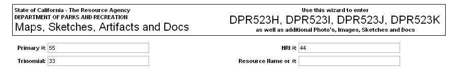
Header Information - This includes the Primary #, HRI # and the Trinomial #. These are pre-populated (if available) from the root resource record.
Map Upload Grid - You may upload as many as 5 maps on a single record. Remember, the file size of all the uploaded files combined will affect the speed of the upload. Be patient. Add the name, date and scale to the information required.
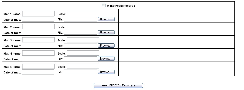
When you are finished Click "Insert DPR523J Record"