Navigation: Add New Resource Wizard > Form Descriptions >
DPR523K - Sketch Maps


|
Navigation: Add New Resource Wizard > Form Descriptions > DPR523K - Sketch Maps |
|
A complete description of all the DPR forms is available online at this address.
The sketch map can be a part of a number of resource records. Here's how the OHP Manual describes the 523K Form when adding it to the Building, Structure and Object Record (523B).
*Sketch Map: Draw or paste in a Sketch Map of the resource and any associated features discussed in Field
B8 (Related Features) above. This Sketch Map is required regardless of whether or not a Location Map is
also needed. The Sketch Map need not be drawn to scale, but must include a north arrow. Name or
otherwise identify important features associated with the resource. In urban areas, and where possible in
rural areas, identify the nearest intersection; otherwise, show roads (with names), buildings, rivers, railroad
tracks, and other features that may help others locate the resource. If the resource's boundaries are other
than parcel boundaries, indicate as such. Do not use this space merely to cite a map located elsewhere.
The 523B form has the following fields:
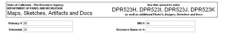
Header Information - This includes the Primary #, HRI # and the Trinomial #. These are pre-populated (if available) from the root resource record.
Map Upload Grid - You may upload as many as 5 maps on a single record. Remember, the file size of all the uploaded files combined will affect the speed of the upload. Be patient. Add the name, date and scale to the information required.
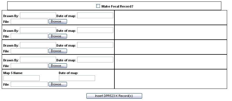
When you are finished Click "Insert DPR523K Record"